|
MapCatalog | Order | Support | SiteIndex | Contact | Home | ||||||||||
|
|
|
|
|
|
|
|||||||||||
| N.America | 203 | |||||||||||||||

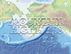
Mountain High Maps Catalog - Alaska, North East Siberia
Map Specifications for Alaska, North East Siberia
| Map identification: | 203 | Projection system: | Conical orthomorphic |
| Map coverage: | Alaska, North East Siberia | North boundary: | 72° 00' N |
| Image size (pixels): | 1,957 x 1,501 pixels | South boundary: | 46° 00' N |
| Image size (inches): | 6.52 x 5.00 inches | East boundary: | 115° 00' to 132° 00' W |
| Image size (metric): | 166 x 127 millimeters | West boundary: | 158° 00' to 172° 00' E |
| Resolution per pixel: | 1,900 meters | Horizontal scale: | 1:4,000,000 |
| RGB file size: | 8.4 Mb | Vertical scale: | 1:328,333 |
| CMYK file size: | 11.2 Mb | Vertical interval: | 100 meters |
| Grayscale file size: | 2.8 Mb | Vertical exaggeration: | 12.2 times normal |
|
Countries, states and territories: |
Alaska, Canada, Russia, |
||
|
| ||
|

| ||
|
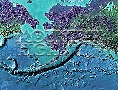
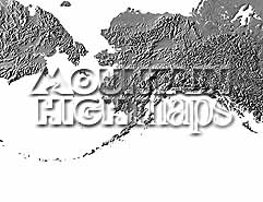
Top left: Elevation low-contrast relief rendering Top right: Vegetation high-contrast relief rendering Middle left: Grayscale land-only relief rendering Middle right: Political low-contrast relief rendering Lower right: Geo-political Illustrator EPS vector maps Inventory of maps and masks within each map portfolio
|
 |

| Alaska Map #203 - Buying Options |
|
|
Vector only EPS map available for immediate download Complete Alaska Relief and Vector Map Package for download |
|
© Digital Wisdom, Inc.